
BlueCap Australia
Infrastructure & site investigation: start with the site question
Start with the project decision, terrain context and the specific target question, not an instrument name.
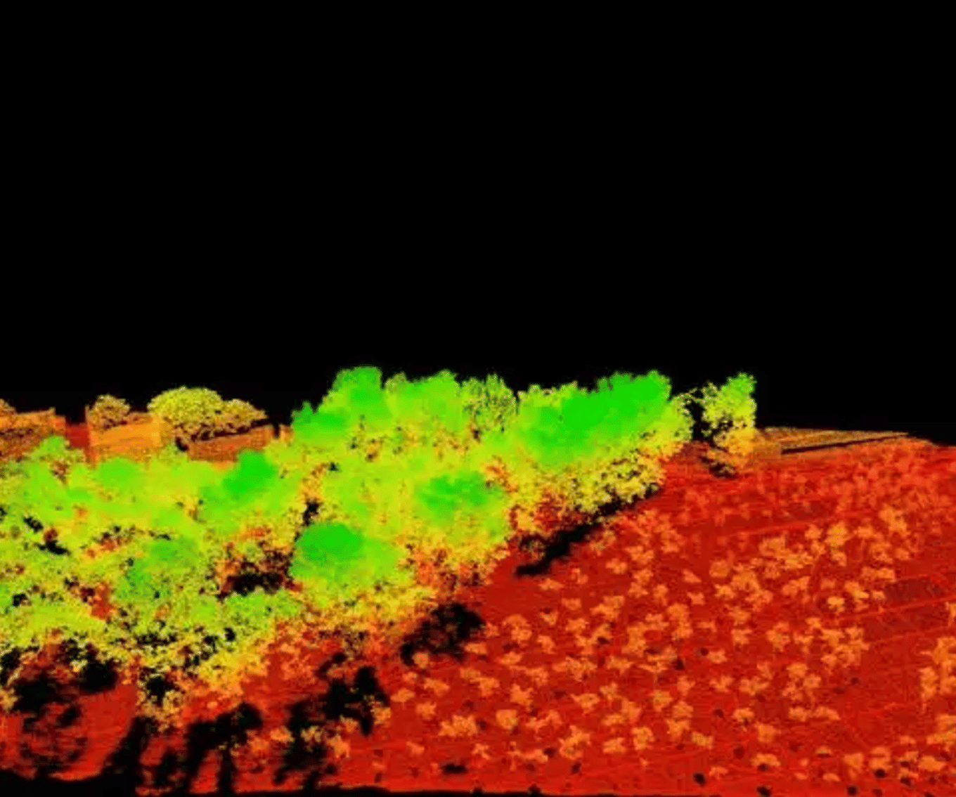
An infrastructure investigation should begin with the decision the project team needs to make: terrain constraints along a corridor, visible features affecting access or drainage, or whether a narrow check for likely buried ferrous material would help plan the next investigation. The useful output is a clearer next step, such as refining a route, checking records or commissioning the right specialist work.
A decision-led site brief
Put terrain and target questions in the right order.
Useful outputs to discuss
- Terrain and access context for planners, designers or surveyors
- Clearly located anomaly areas where a suitable ferrous-target question exists
- A limitations register that directs the next specialist investigation
Map the surface
Use terrain evidence to understand relief, drainage, visible disturbance and access before narrowing the question.
Ask about the target
Use magnetics only when the question concerns a plausible ferrous response; use a specialist method where it does not.
Verify appropriately
Pass the resulting priority areas to records review, accredited locating, engineering or controlled investigation.
Start with the project question
Set the boundary, consequence of being wrong and next decision before selecting a method. “What is the terrain?” is different from “where are possible ferrous anomalies?” and different again from “where are all services?” The last question may need records, accredited service locating and direct verification, not a magnetic map alone.
LiDAR: terrain and corridor evidence
LiDAR-derived elevation products can provide terrain and surface context across a site or corridor. Useful observations can include ground elevation and slope, ridges, depressions, embankments, cuttings, drainage paths, visible obstructions and access context. USGS identifies route, grade, line-of-sight and corridor mapping as infrastructure uses of 3D elevation data. Read the USGS overview.
Ask whether the job needs a point cloud, bare-earth terrain model, surface model, contours, hillshade or another derivative. Confirm capture date, coverage, coordinate reference system, vertical datum, classification, stated quality and gaps. Terrain data do not show every buried service, tank, void, soil layer or underground condition.
Magnetic screening: when the target may be ferrous
A magnetic survey passively measures changes in the Earth's magnetic field. Where a target is plausibly ferrous, it can help map anomaly locations consistent with possible ferrous utilities, tanks, drums or buried debris. It is an indication of anomalous response, not identification or confirmation of a particular object. The US EPA describes the method's environmental uses and the need for interpretation.
Natural geology, fill, fences, vehicles, structures and electrical infrastructure can affect readings. Source size, depth and orientation also matter. A magnetometer does not reliably detect non-ferrous items such as aluminium, copper or brass.
Magnetics is not electromagnetic (EM) investigation
Magnetic surveys passively record changes in Earth's magnetic field from magnetic susceptibility or magnetised material. Ask whether an anomaly is consistent with a suitable ferrous target or geological contrast. They cannot prove target type, depth or clearance, and are not reliable for non-ferrous targets.
EM methods record a response after the instrument induces electromagnetic energy, often related to electrical properties. Ask whether a conductivity or appropriate metallic-target question warrants a specialist EM scope. Depth, resolution and target discrimination depend on the method, ground and target.
US EPA's EM overview explains that EM and magnetic methods respond to different physical properties. Choose by target, setting and required decision, not a generic “metal detection” request.
A published field example
Mu, Zhang, Xie and Zheng tested a UAV magnetic workflow over a 28 by 33 metre field experiment in Hebei, China containing five pre-buried ferrous targets. Their multirotor system flew at two metres above ground on closely spaced lines and the paper focuses on suppressing aircraft interference before automatic anomaly interpretation. Read the 2020 Remote Sensing study.
This is a small, controlled near-surface target test with its own aircraft, sensors, target geometry and processing. It demonstrates why sensor interference, flight geometry and interpretation all matter; it does not create a clearance rule, a depth promise or a result for a different site.
A practical combined pathway
For a proposed access route across partly vegetated ground with legacy use areas, terrain evidence can first frame relief, drainage, access and visible disturbance. A scoped magnetic survey can then identify anomaly zones for controlled follow-up, interpreted with site history and sources of interference. The result may refine records review, accredited locating, engineering assessment or carefully planned intrusive work. It does not establish that a corridor is clear of buried hazards.
What this investigation does not provide
Unless explicitly scoped separately, terrain and geophysical investigation does not provide excavation clearance, a buried-service inventory, legal boundary definition, construction set-out, geotechnical design, slope-stability certification, object depth or condition confirmation, environmental clearance, heritage clearance, UXO clearance or safety certification.
Briefing checklist
- project decision, programme and consequence of being wrong;
- site boundary, corridor, access constraints and existing survey control;
- plans, as-builts, service records, prior reports and imagery;
- target type: terrain, ferrous, non-ferrous, geological or another question;
- known fill, demolition, flooding, legacy land use and surface clutter;
- priority zones, inaccessible areas, coordinate system and vertical datum;
- desired outputs, users and the follow-up decision; and
- any statutory, asset-owner, safety or excavation obligations.
References and next reading
- US EPA: Magnetic Method. Official method guidance; not Australian clearance advice or a project-specific detection guarantee.
- US EPA: Electromagnetic Methods. Official method guidance; not a performance claim for a particular target, instrument or soil.
- Mu, Y., Zhang, X., Xie, W. & Zheng, Y. (2020), “Automatic Detection of Near-Surface Targets for Unmanned Aerial Vehicle (UAV) Magnetic Survey”, Remote Sensing 12, 452. DOI: 10.3390/rs12030452. Controlled Hebei test, not a site-clearance result.
- Intergovernmental Committee on Surveying and Mapping: LiDAR acquisition specifications and tender template, Version 1.0, November 2010.
Return to Choose a survey, see LiDAR terrain mapping and magnetic survey information, review the full range of BlueCap drone surveys, or discuss the project question.
Project enquiry
Let’s plan your survey
Start with your survey area and the data you need. We’ll help define the scope, review terrain-aware 2D and 3D flight plans, and keep field progress, processed data and deliverables together in the BlueCap Survey Portal.
No software subscription fee for BlueCap service projects.
