
Australia / International The world’s most accurate drone survey system
Drone Survey Australia: Ultra-High-Definition Mapping at Aircraft-Scale Coverage
Drone surveys delivering LiDAR terrain models, airborne magnetic data and radiometric mapping for mineral exploration
Operating since 2018 · CASA-authorised drone operations · Survey projects for major Australian miners and explorers · BlueCapHeli® system · 8 flight hours a day
BlueCap is an Australian drone survey company that designs, builds and operates its own survey aircraft and sensors. Since 2018 we have flown drone surveys for mineral exploration and mining across Australia and worldwide — aeromagnetic and radiometric geophysics plus LiDAR terrain mapping, delivered as one service by one operating team.
SENSOR-CENTRIC FULL-PHYSICS PLANNING
The World’s Most Accurate Drone Survey System
Before take-off, we fully simulate the helicopter, sensor and their physical interaction. BlueCapHeli® flies the resulting sensor-centric trajectory with exceptional precision.
Greater precision
Full-physics planning of the sensor’s trajectory.
Lower survey costs
BlueCapHeli® productivity and simulation-led flight efficiency.
- Physical model
- Simulate mission
- Fly planned trajectory
Half the price of conventional multirotor drones on blocks over 100 km² — and about the same cost as crewed aircraft — with even bigger savings in steep, roadless terrain.
Drone survey cost calculator
Loading current Quote range…
Drone Survey Project Enquiry
Plan Your Drone Survey with BlueCap
We use the Portal to turn your survey polygon into a quote-ready BlueCap drone survey project. Compare drone LiDAR survey & mapping, drone magnetic survey & mapping and drone radiometric survey scopes, review DEM-aware 2D and 3D mission design, follow field acquisition, and keep processed survey data and deliverables in one client workspace.
No software subscription fee for BlueCap drone survey service projects.

Drone survey services for mining and exploration
For mining and exploration, BlueCap flies drone aeromagnetic surveys to measure magnetic responses beneath cover and drone radiometric surveys to map near-surface K–eU–eTh signals, alongside drone LiDAR survey and mapping for terrain models and classified point clouds. BlueCap delivers acquisition data, QC and processed products; the client’s geophysicists interpret the drone geophysical survey results with the project geology.
Drone Geophysical Survey Data for Exploration Decisions
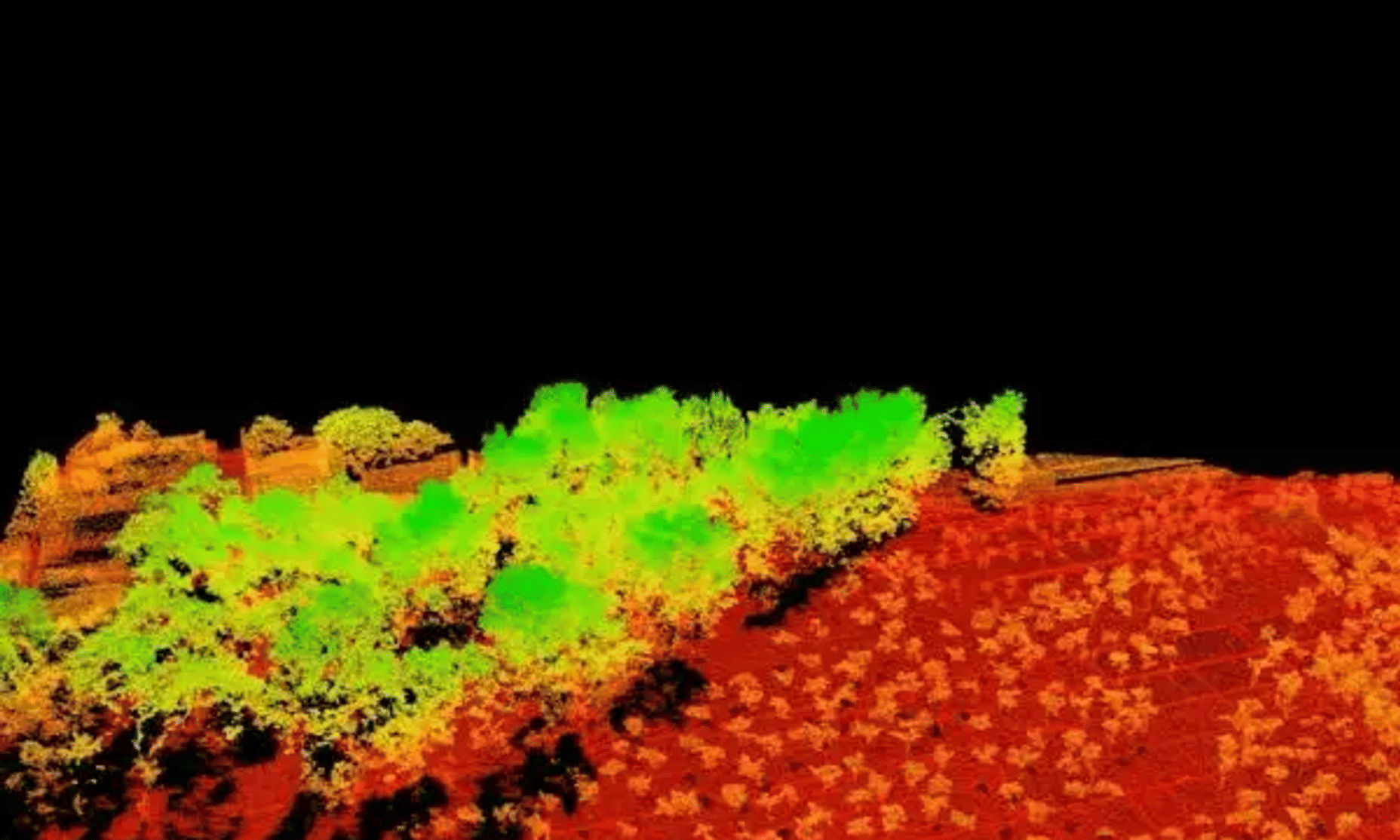
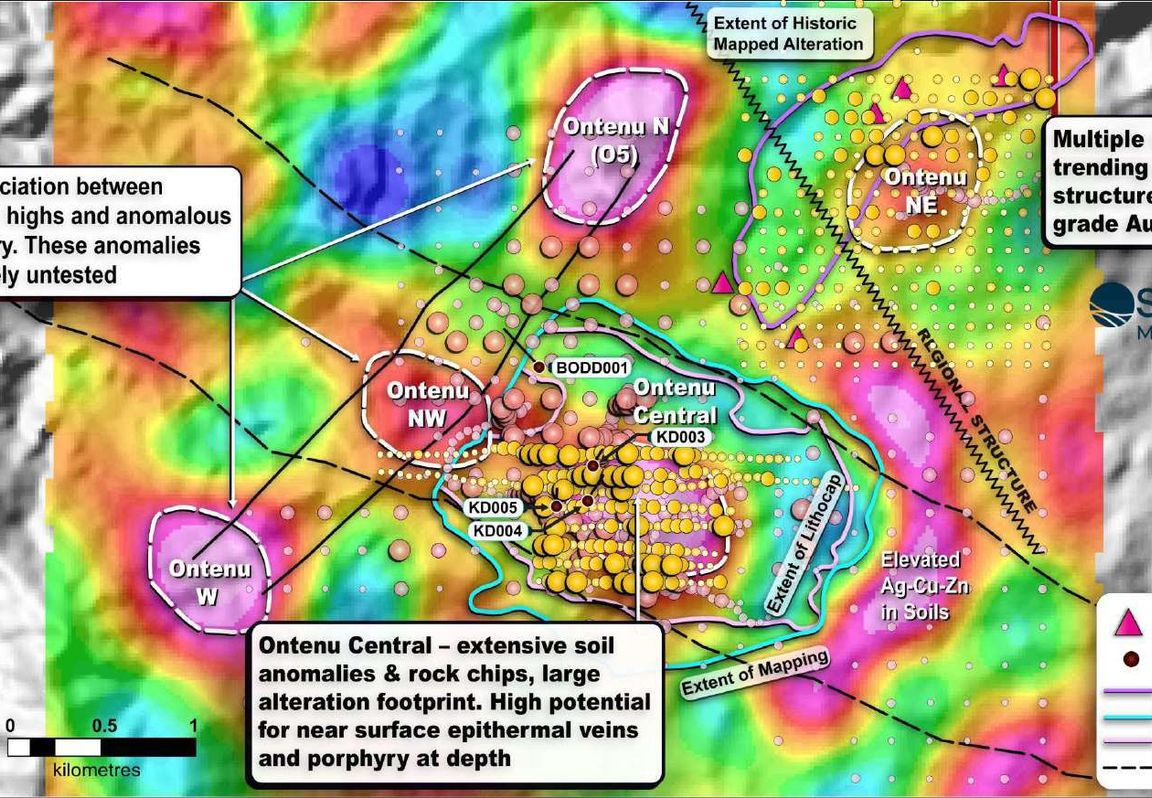
A drone geophysical survey records contrasts in the Earth's physical properties for exploration and mining. Drone aeromagnetic surveys measure magnetic responses that can help geophysicists examine structures and contacts beneath cover. Drone radiometric surveys measure natural gamma response near the surface to map K–eU–eTh patterns. Drone LiDAR terrain mapping supplies separate terrain and flight-planning context.
BlueCap survey system. Since 2018, BlueCap has engineered and operated its own aircraft, payloads and positioning chain. One BlueCapHeli® survey system comprises three helicopters and three pilots. Crews mobilise from the Gold Coast, with equipment staged in Perth.
Processed data for client geophysicists. BlueCap plans and flies acquisition, preserves the RAW record, checks coverage and sensor geometry, and delivers QC-backed processed magnetic products such as RTP, 1VD and 2VD alongside agreed radiometric and LiDAR outputs. The client’s geophysicists interpret those products with geology, field observations and other evidence before ranking targets or making drilling decisions. The choose-a-survey guide explains how the methods complement each other; the survey equipment pages show the measurement systems.
Better Data Before Drilling Capital Is Committed
BlueCap survey data helps exploration teams rank targets earlier, avoid low-value drilling and direct capital toward the highest-potential ground.
Screen weak targets before drilling capital is committed.
Rank anomalies and concentrate follow-up work on the strongest opportunities.
Gain enough evidence to advance, redesign or stop a programme sooner.
Provide consistent geophysical and terrain evidence for management, boards and investors.
Built for BlueCap crewsBlueCap Drone Survey Equipment, Platforms & Payloads
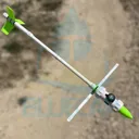
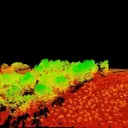
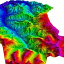
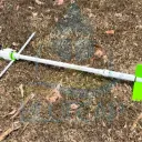
Equipment photographyOpen equipment photo galleriesExplore BlueCapHeli®, BlueCapBird® and BlueCapLidar® field systems and survey payloads.







Drone Survey & Geophysical Mapping FAQ
What is a drone survey, and which one does a mining project need?
A drone survey is any survey flown by a remotely piloted aircraft (RPA) rather than a crewed aircraft or a ground crew. In BlueCap's work that means geophysical surveys that measure the Earth's magnetic field or natural gamma radiation, and LiDAR surveys that measure the shape of the ground. The method follows the question: to find structures, intrusions or alteration beneath cover, a drone aeromagnetic survey is usually the first choice; to map surface geology and regolith, a drone radiometric survey adds potassium, uranium and thorium; to design roads, pads, drainage or a haul route, a drone LiDAR survey delivers terrain models and point clouds. Most exploration programmes combine two or three, and the choose-a-survey guide walks through the decision step by step.
What is a drone geophysical survey?
A drone geophysical survey measures physical properties of the ground from a low-flying UAV — the Earth's magnetic field and natural gamma radiation — to map rock types, structures and alteration hidden beneath soil, sand and vegetation. BlueCap flies two geophysical methods, drone aeromagnetic surveys and drone radiometric surveys, usually with a drone LiDAR terrain model flown first so the sensor can follow the ground closely and the geophysics is referenced to accurate topography. Compared with a crewed aircraft, the drone flies lower and slower and resolves finer geological detail; compared with ground crews, it covers exploration-scale blocks in days rather than months.
What drone survey services does BlueCap provide in Australia?
BlueCap provides drone geophysical survey and mapping services across Australia and worldwide for mineral exploration and mining. We plan and fly drone (UAV) aerial survey and mapping acquisition, then process and deliver the data. Our core services are drone LiDAR surveys, producing DTM/DSM/DEM terrain models and classified point clouds, drone aeromagnetic surveys, delivering high-resolution processed magnetic data for geophysical interpretation and drill targeting, and drone radiometric surveys for potassium, uranium and thorium mapping.
Where does BlueCap provide drone mapping services and UAV surveys?
We operate through mineral exploration partners and mobilise crews, aircraft and field equipment for drone mapping and survey projects across:
- Australia — every state and territory, including Tasmania, from our Gold Coast (Queensland) base and equipment staged in Perth (Western Australia)
- New Zealand
- Asia, including Vietnam, Malaysia and the Philippines
BlueCap can also mobilise for worldwide drone (UAV) aerial survey and mapping projects at sites with little or no supporting infrastructure, in high-altitude and rugged mountain terrain, and in cold or polar environments, including Antarctic regions. Our aircraft, ground systems and field procedures are designed for reliable survey acquisition in difficult operating conditions.
For international UAV operations, BlueCap works through the required in-country approval process using its CASA authorisations and operating procedures (ReOC/RePL, as applicable). Previous approvals have involved CAAV in Vietnam, CAAM in Malaysia, CAAP in the Philippines and CAA in New Zealand. Each project remains subject to the applicable local aviation requirements.
Since 2018, BlueCap has delivered projects for major Australian miners and explorers, including PLS Group (Pilbara Minerals), Mineral Resources, Liontown, Lynas, Iluka, Arafura, Boss Energy, Paladin Energy, Deep Yellow, Northern Star and Evolution Mining.
How much does a drone survey cost in Australia?
Drone survey cost depends on the survey area, line spacing or point density, terrain, mobilisation, aviation approvals, sensor and required deliverables. Use the BlueCap drone survey cost calculator for an indicative estimate, or open the method-specific drone LiDAR survey calculator and drone magnetic survey calculator. A formal quotation follows review of the project polygon and scope.
Is BlueCap a drone manufacturer or a professional drone survey company?
BlueCap is a survey company with its own aircraft, payload and software capability. As a vertically integrated airborne geophysics and drone survey service provider and in-house technology operator, the same team handles system integration, mission planning, flight operations, QC, processing and data delivery.
We do not sell or lease our survey systems. They are built for BlueCap crews to deliver LiDAR mapping products and airborne magnetic survey data in remote terrain. Our remote pilots, geophysics-processing specialists and aircraft engineers keep the workflow inside one accountable operating team. Production and R&D are based on the Gold Coast (Australia) and in Da Lat (Vietnam), with equipment and spares staged in Perth (Western Australia) for rapid mobilisation.
Which mineral exploration and mining projects use BlueCap drone surveys?
We support mineral exploration and mining teams with drone (UAV) aerial surveys and mapping, including LiDAR terrain models and airborne magnetic surveys.
Typical project commodities include lithium, rare earths, uranium, graphite, gold, copper, nickel, cobalt, platinum, iron, bauxite, chrome and phosphate.
What deliverables come from a drone LiDAR survey and mapping service?
Typical LiDAR survey deliverables include classified LAS/LAZ point clouds, DTM/DEM terrain models, DSM, contours and other agreed terrain products. The Drone LiDAR survey and mapping page sets out the available outputs in detail.
What deliverables come from a drone magnetic survey?
Standard airborne magnetic survey deliverables include the unchanged RAW record, processed line data, gridded magnetic maps and six versioned magnetic products — Residual, RTP, 1VD, 2VD, Analytic Signal and Tilt Derivative — in the BlueCap day rate, delivered the same field day the aircraft lands. Custom processing beyond the standard package is available at A$2,550 per working day. The client’s geophysicists interpret the delivered products.
Does BlueCap provide drone radiometric survey and mapping services?
Yes. BlueCap drone radiometric survey and mapping services integrate a Medusa MS-1000 gamma-ray spectrometer with mission design, acquisition, processing and quality control. Agreed products can include potassium, equivalent uranium, equivalent thorium and total-count data for near-surface geological mapping.
How does a BlueCap UAV survey compare with a crewed aircraft survey?
BlueCap is set up to bridge the operating gap between crewed aviation and battery drones: aircraft-scale daily acquisition with drone-level terrain following and data resolution. Greater daily production can reduce deployed field days and the mobilisation cost carried by each delivered line-kilometre or square kilometre.
On comparable LiDAR mapping and high-resolution magnetic survey scopes, BlueCap’s indicative estimates are around 30–50% below comparable conventional-drone survey pricing. Against crewed aircraft or helicopter surveys the price for the same survey area is broadly comparable or slightly higher; the difference is the data: the low-altitude, terrain-following detail of a small electric drone, delivered as ultra-high-definition magnetic, LiDAR and radiometric acquisition over aircraft-scale blocks, which crewed aviation cannot provide. The commercial result still depends on survey geometry, terrain, mobilisation, aviation approvals and the required deliverables.
What is the difference between drone surveying, UAV surveys and aerial surveys?
Drone and UAV are common terms for an unmanned aircraft. In Australian aviation usage, the aircraft may also be called an RPA, while the complete remotely piloted aircraft system is an RPAS. Aerial survey describes the work: acquiring geospatial or geophysical data from the air.
In project scopes, these terms often overlap. A drone/UAV aerial survey can produce DTM/DSM terrain models and point clouds from LiDAR acquisition or magnetic maps for interpretation from airborne magnetics.
How does one BlueCapHeli® system cover 10,500 magnetic line-km in a week?
Those figures refer to productive flight-line acquisition on a flying day. BlueCapHeli® long-endurance petrol UAV helicopters are built for sustained drone mapping missions. A typical battery-powered mapping drone may fly for about 15–20 minutes per battery pack; BlueCapHeli® uses interchangeable 3-hour (3.2 L) and 8-hour (10 L) fuel-tank configurations, with the operating configuration selected for the survey and approvals.
At a typical survey speed of about 100 km/h (27 m/s), within an operating range of approximately 80–140 km/h (22–40 m/s), a standard BlueCapHeli® survey system has three helicopters and three pilots. Each helicopter typically acquires 600–800 productive line-km per flying day, so the system plans around 1,800–2,400 line-km/day. At the nominal 2,100 line-km/day, five flying days yield 10,500 productive line-km; turns and tie lines add to the distance flown. All three normally operate. On a very small block, BlueCap may choose to fly two at once as an operational decision; clients buy the system service, not an individual helicopter or a selectable aircraft count. For roughly twice the daily magnetic line-km, ask us to scope two complete teams: two systems, six helicopters and six pilots. This needs its own quote and flight plan. The actual plan depends on geometry, terrain, weather, approvals and QC.