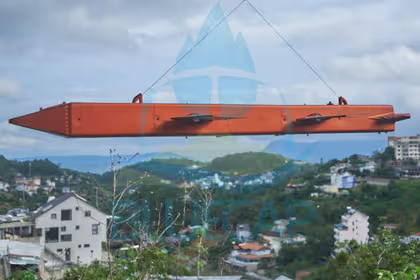
Explore BlueCap-operated UAV geophysical survey equipment: a long-endurance helicopter, drone magnetometer and LiDAR payload systems. Not sold or leased.
Aircraft · payloads · field QC · controlled processing
BlueCap develops and integrates the aircraft, measurement payloads and operating software used by its own field teams. These systems are not sold or leased: clients engage BlueCap for a complete magnetic, LiDAR or radiometric survey service in which carrier, sensor geometry, positioning, communications and processing are configured for the required outcome. Every system below exists to fly BlueCap’s own drone surveys across Australia and worldwide.
BlueCap-operated hardware01
Four systems. One accountable operator.
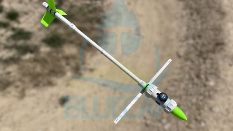
BlueCapHeli® provides the long-endurance airborne carrier. BlueCapBird® measures the magnetic field close to terrain. BlueCapLidar® records the surface and ground geometry. BlueCapRTK® holds every measurement to a geodetic position. Each system has its own engineering role and remains part of a complete BlueCap-operated service.
01Airborne carrier
Airborne carrier
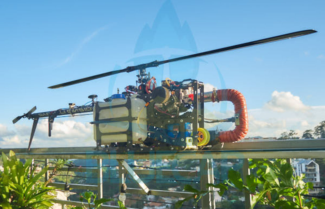
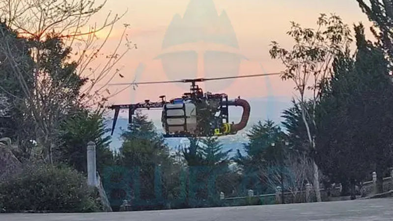
BlueCapHeli®
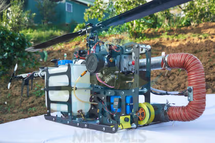
Medium-sized petrol UAV helicopter with interchangeable 3.2 L and 10 L fuel configurations. The mission selects up to 3 h or up to 8 h endurance; normal project-qualified survey speed is approximately 100 km/h.
Light and Fast variants use the same QuSpin QTFM Gen 2 scalar total-field sensing architecture. BlueCap selects compact low-speed acquisition or actively controlled large-area production from terrain and sensor-geometry requirements.
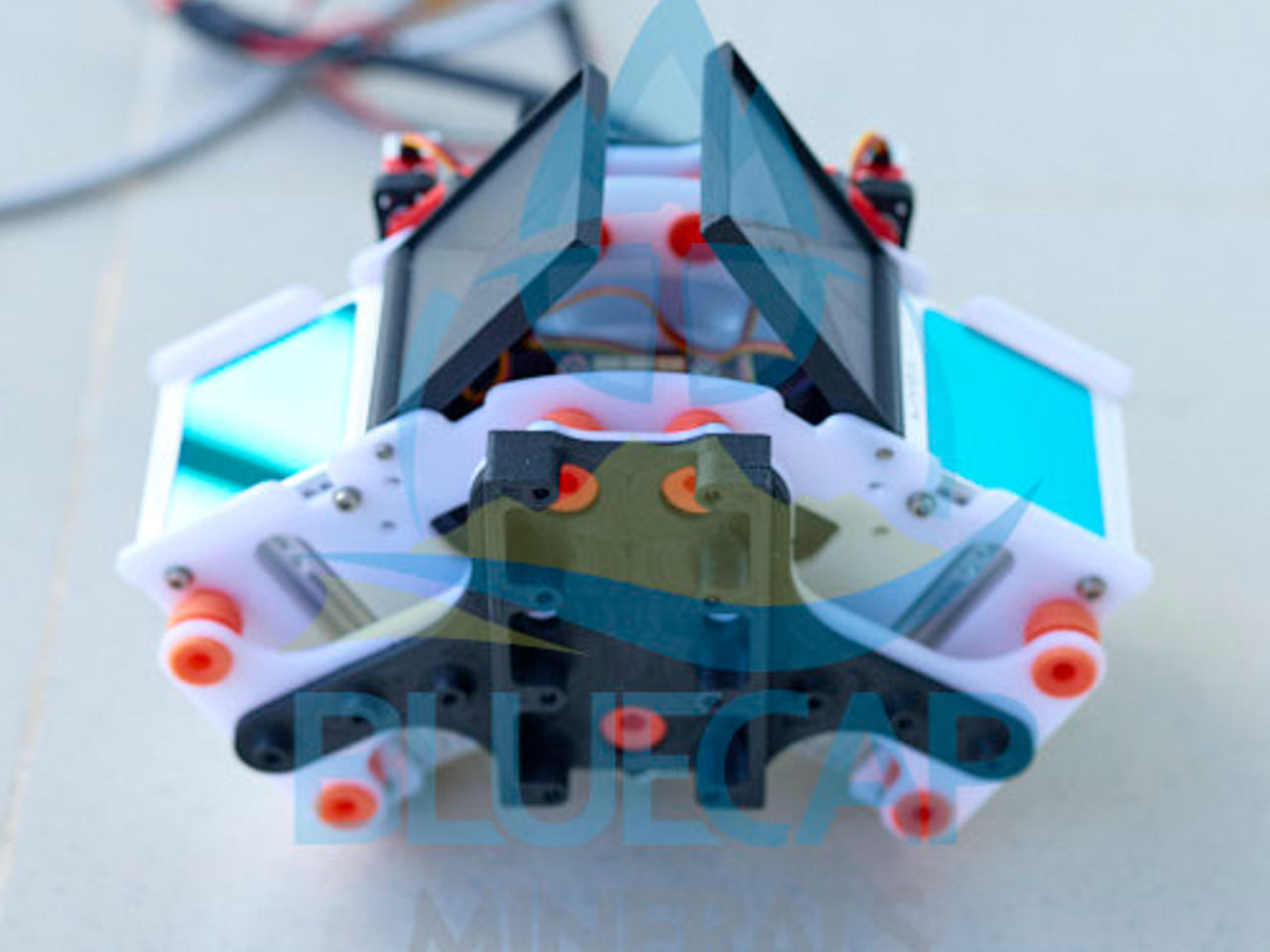
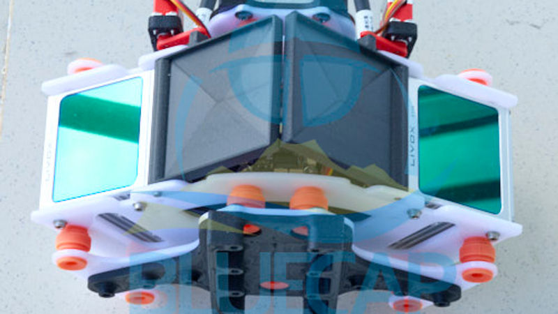
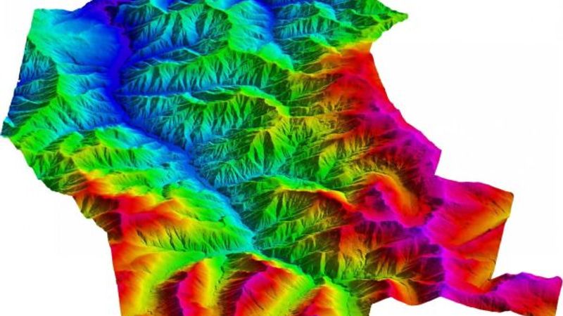
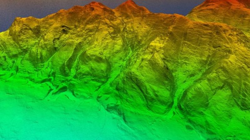
Two DJI Livox Avia scanners, active optical shutters, four IMUs, RTK positioning and a locally synchronised record form one terrain-acquisition payload for large survey areas.
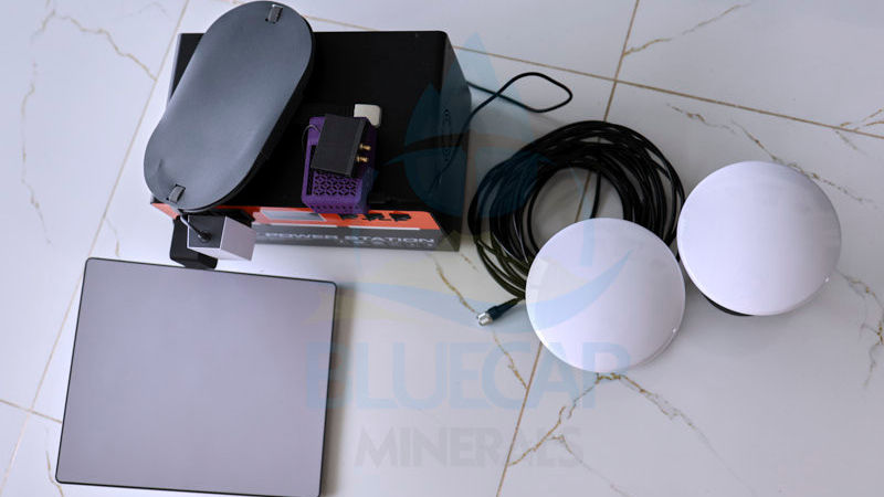
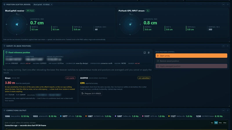
In-house RTK developed for real large-area surveys in bush, desert and mining environments. Correction algorithms on the base station and on each helicopter hold survey-instrument accuracy — 8 mm + 1 ppm horizontal, sub-centimetre vertical — the accuracy ceiling of every LiDAR terrain product.
Hardware becomes useful when the whole measurement chain stays connected.
A sensor specification alone does not deliver a survey. BlueCap plans the geometry, qualifies the carrier and payload combination, keeps acquisition visible in the field and controls the processing path to the agreed data product.
01
Project and route plan
Polygon, terrain, spacing, sensor geometry, outputs, approvals and operating constraints define the mission.
02
BlueCapHeli® carrier
Fuel cycle, reserve, communications and payload integration are selected for the approved operating plan.
03
Measurement payload
BlueCapBird®, BlueCapLidar® or a radiometric configuration records the project-specific physical measurement.
04
Live field record
Position, attitude, sensor output and telemetry remain visible for acquisition QC while the team is deployed.
05
Controlled processing
BlueCap workflows convert the complete record into traceable terrain, magnetic or radiometric products.
Start with your survey area and the data you need. We’ll help define the scope, review terrain-aware 2D and 3D flight plans, and keep field progress, processed data and deliverables together in the BlueCap Survey Portal.
No software subscription fee for BlueCap service projects.
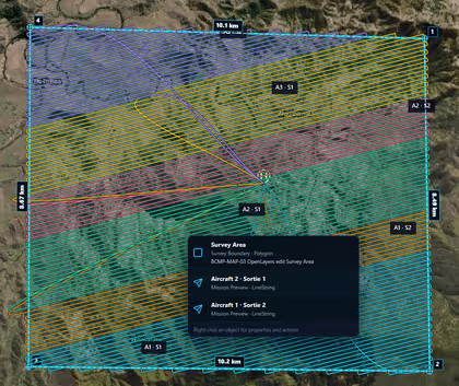
Multi-aircraft survey allocationDivide a large survey area into coordinated aircraft sorties and review the complete route geometry on the map.Quote-ready projectKeep the live scope, calculated duration, field mobilisation and current commercial position in one project record.2D route designDraw the survey area, set start and landing points, allocate aircraft and inspect the calculated flight lines.Terrain-aware 3D simulationReview the calculated mission against DEM terrain, route state and the aircraft flight projection before field deployment.Corridor and obstacle reviewInspect terrain and infrastructure clearance around the calculated aircraft and suspended-sensor trajectories.Flight-state evidenceFollow speed, vertical motion, aircraft clearance, altitude and heading within the same recorded mission.Detailed trajectory reviewReplay the route and inspect the calculated horizontal speed, vertical speed and aircraft altitude at any point.