
BlueCap Australia
Soil & land management: map variation, then sample with purpose
Map variability first, sample with purpose, and test local relationships before turning patterns into decisions.
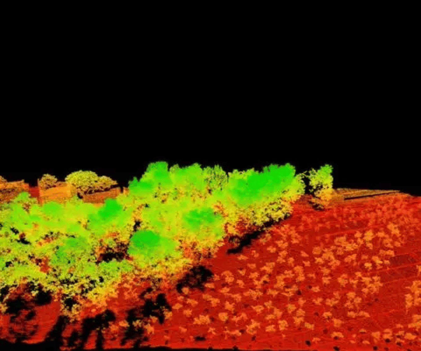
A paddock is rarely one uniform soil unit. Parent material, slope, drainage, erosion, deposition and management history can vary over short distances. For soil and land-management questions, mapping can help identify patterns worth checking on the ground, then a locally designed sampling and laboratory program tests what those patterns mean.
Map variation, then sample deliberately
Turn broad spatial patterns into a better local sampling plan.
Useful outputs to discuss
- Near-surface gamma and terrain context with coverage and processing notes
- Candidate zones and boundaries for field inspection or sampling
- A traceable map pack for the agronomist, soil professional or land manager
Read the landscape
Compare slope, drainage and surface context before deciding where one composite sample may hide variation.
Set representative locations
Use mapped zones to select both typical and boundary samples for the actual decision.
Test locally
Let field observations and laboratory results determine whether a mapped pattern is meaningful for management.
Start with the land-management question
This approach can help ask where major soil or regolith zones may occur, which areas deserve separate samples rather than one composite, how landscape position affects inspection, and how existing observations can become a clearer sampling plan. It does not replace agronomic advice, a soil survey, laboratory testing or on-ground inspection.
Sampling should match the decision, soil type, management unit, spatial variability and required accuracy. Where consistent zones occur, samples may need to stay separate; where a whole area is the question, a composite design can be appropriate. Australian soil-sampling guidance explains the principle.
Radiometric context: a near-surface pattern, not a soil test
Gamma-ray spectrometry measures natural gamma responses associated with potassium, uranium and thorium near the surface. Changes in lithology or soil type can accompany changes in radioelement concentrations, so a map can be one line of evidence when looking for broad changes in surface material or drainage context. Geoscience Australia describes these uses.
It does not directly report pH, nutrients, organic carbon, salinity, compaction, bulk density, contamination, crop potential or a universally valid clay percentage. Those need appropriate field observations and laboratory analysis.
Terrain context: read the shape of the land
A terrain model can place near-surface patterns in landscape context: ridges, depressions, drainage lines, slope breaks and disturbance may all affect field inspection and sampling. A terrain feature is a reason to inspect, not proof of soil strength, drainage performance or a management prescription.
A practical combined workflow
- Map landscape context to identify broad slopes, breaks and drainage corridors.
- Review near-surface radiometric patterns alongside those features.
- Select representative and boundary locations, including extra checks where terrain and gamma evidence disagree.
- Collect samples at suitable depths, times and handling conditions for the intended tests.
- Use laboratory results, field observations and local history to decide whether zones are meaningful.
The map directs attention; it does not turn a remotely observed pattern into a laboratory result or a treatment prescription.
What one field study shows — and does not
van der Veeke and co-authors compared 2,000, 1,000 and 350 mL scintillation gamma spectrometers on one UAV over an agricultural field, then compared aerial and ground measurements. In that field, thorium had a relationship with topsoil sand and clay fraction, and all three detector sizes characterised its spatial distribution. Read the 2021 paper.
This is useful evidence that gamma data can reveal a pattern relevant to soil investigation. It is not a universal conversion from thorium to sand or clay, or a generic flight-design rule. The study also found aerial measurements at 20 metres less sensitive to extreme values than ground measurements and tending towards the area mean. Local geology, soil development, moisture, vegetation, processing and representative samples all matter.
Typical information products to discuss
- potassium, equivalent uranium and equivalent thorium products with processing notes;
- terrain products and derivatives appropriate to the question;
- candidate sampling zones or inspection locations;
- map packs or coordinate files for agreed field work; and
- coverage, quality and validation notes.
A soil-management plan, agronomic prescription or laboratory certificate is separate unless arranged with the qualified people responsible for it.
Briefing checklist
- property boundary, coordinate system and available base mapping;
- management decision and whether the aim is a whole paddock, zones or a specific problem;
- soil, geology, drainage and land-use history;
- previous tests, yield information, maps and field observations;
- proposed properties and laboratory methods, if known;
- expected sampling depth, timing, vegetation, access and safety constraints; and
- the people who will interpret samples and make the final recommendation.
References and next reading
- van der Veeke, S. et al. (2021), “Optimizing gamma-ray spectrometers for UAV-borne surveys with geophysical applications”, Journal of Environmental Radioactivity 237, 106717. DOI: 10.1016/j.jenvrad.2021.106717. One agricultural field; retain local sampling and processing caveats.
- Geoscience Australia: radiometrics
Return to Choose a survey, explore geological and regolith mapping, flood, erosion and terrain, LiDAR and radiometric method information, check BlueCap drone survey coverage across Australia, or discuss a project boundary and question.
Project enquiry
Let’s plan your survey
Start with your survey area and the data you need. We’ll help define the scope, review terrain-aware 2D and 3D flight plans, and keep field progress, processed data and deliverables together in the BlueCap Survey Portal.
No software subscription fee for BlueCap service projects.
